This winter, the resort is open from December 12, 2026, to April 9, 2027.



Live station news
Webcams
How to get there ?
This winter, the resort is open from December 12, 2026, to April 9, 2027.
Le Corbier
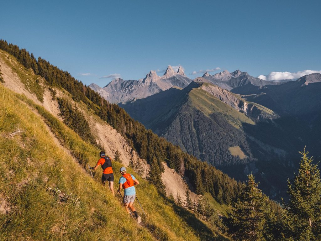
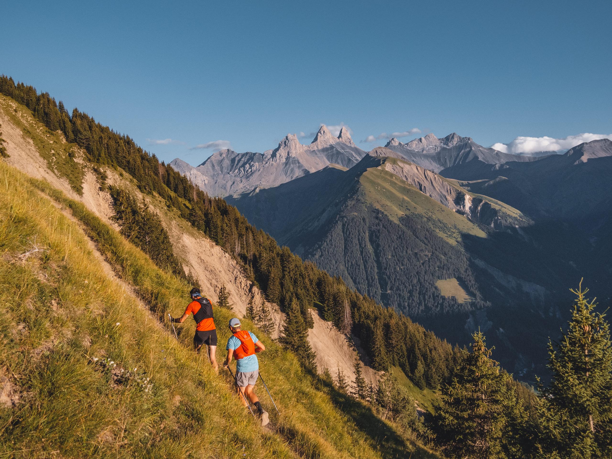
It's THE challenge of the week! Climb this impressive mountain! On your marks, get set, discover!
Itinerary:
1 - From the Tourist Office, walk along the buildings towards the bottom of the resort, then pass below the Alpages du Corbier residence as far as the "interdit sauf desserte locale" sign.
2 - Continue to the hamlet of Le Cruet, then under the Chappelle Sainte-Philomène and follow the path down through the trees.
3 - At the bottom of the path, turn right towards the Aire de pique-nique de l'œillette.
4 - At the next crossroads, follow œillette. Just before you reach the picnic area, turn right towards the Col de la Louvière / Mont Charvin loop and start climbing through the forest.
5 - A sign indicates to turn left, follow the path and cross a small combe.
6 - Take the path up to the Col de la Louvière. At the Col de la Louvière, continue along the path.
7 - Follow the small yellow signs with black arrows along the way.
8 - When you reach a park, open the wooden gate and don't forget to close it! From now on, there are no more signposts (yellow squares with black arrows on park posts) up to the summit of Mont Charvin.
9 - The descent is towards the Col d'Arves. Be careful, the descent is technical and slippery. We recommend stopping to admire the scenery!
10 - At the Col d'Arves, turn right towards La Baye - Le Corbier. Follow the path until you reach the junction at the Sylvothérapie workshop.
11 - Climb back up to Le Cruet and return to Le Corbier at the bottom of the resort.
Good to know:
Before the summit, admire the Demoiselles Coiffées, more commonly known as fairy chimneys.
From 01/05 to 30/11 daily.
Subject to favorable snow and weather conditions.
13 km
Loop
Marked route
1044 m
1044 m
375 min
N°38 du topoguide en vente à l'Office de Tourisme.
Accepted
73300 Le Corbier