This winter, the resort is open from December 12, 2026, to April 9, 2027.




Live station news
Webcams
How to get there ?
This winter, the resort is open from December 12, 2026, to April 9, 2027.
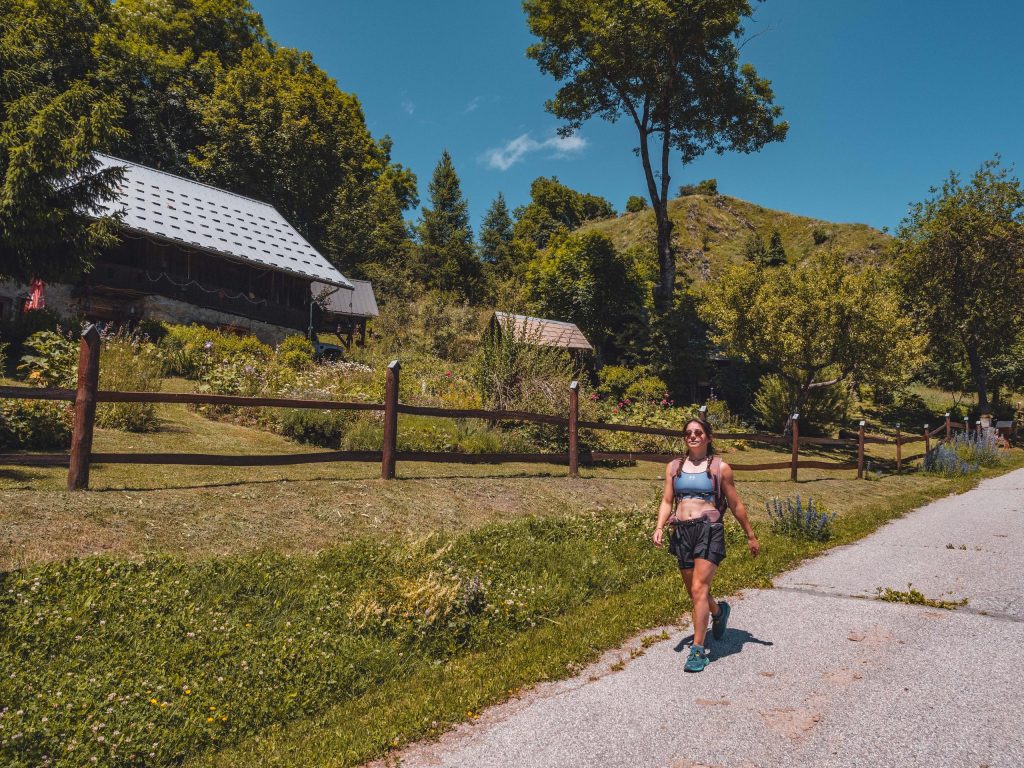
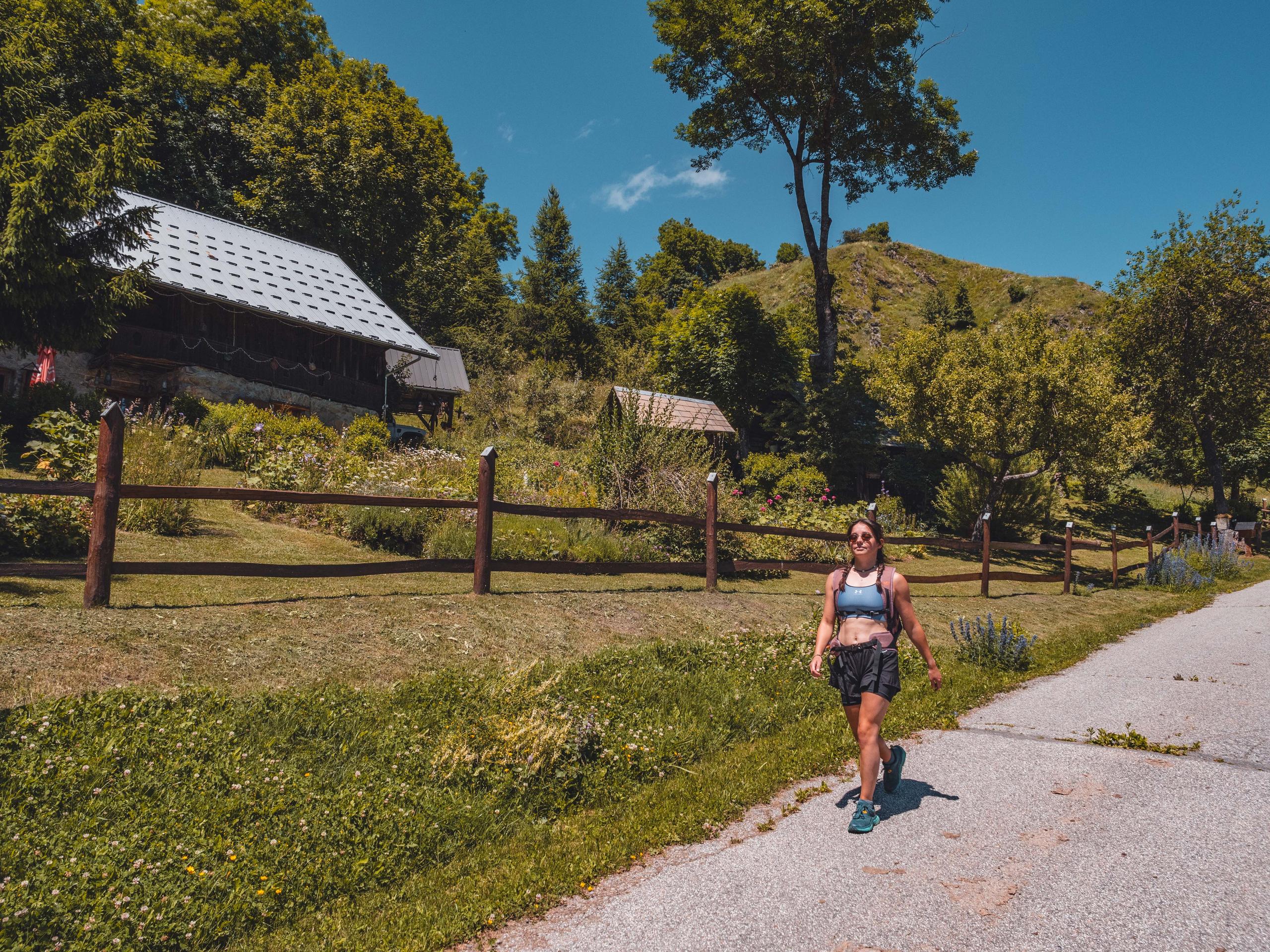
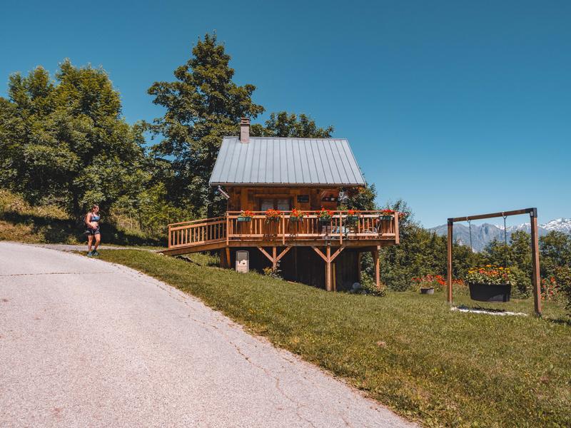
A lovely route to discover the hamlets, the Villarembert church and enjoy a moment of relaxation at Lac de la Tigny.
Directions:
1 - From the Tourist Office, go down the metal stairs next to the Yéti restaurant, then cross the road. The path descends alongside the riding school.
2 - After the riding school, turn left and follow Le Tour des Hameaux. Once over the Garney bridge, turn right. The path is a little steep, then picks up a slightly wider, steeper path leading down to the hamlet of Fromentières.
3 - At the first house, take the path down to Les Pouillères. Cross a footbridge and continue along the path. At the end of the wood, continue straight on towards Tour des hameaux as far as Chalet Fébronie. Rejoin the main road and descend on the left for 100 m, then in the right-hand bend follow the signs for Tour des Hameaux.
Be careful, the descent is a little steep!
4 - At the bottom of the track, turn left. Follow the road to the campsite. Take the road back to the village. About 100 m after the bridge, take the path on the right, towards the bread oven and church. Continue uphill to the left, then to the right. Pass the bread oven and church.
5 - Once in the village square, cross the road, pass the town hall, continue into the hamlet of Les Courts and take the path rising to the left at the bend, signposted Les Crevasses-Tour des Hameaux. Return to the road, then turn right towards Le Tour des Hameaux via Les Crevasses.
6 - At the hamlet of Les Crevasses, take the road to La Sellière. At the intersection, turn left towards Le Plan Chaud and follow the Tour des Hameaux signs back to the equestrian center.
On this route you'll find two of Max's "Randos": Max the leather worker and Max the baker! Booklet available from the Tourist Office.
Free access.
From 01/05 to 30/11 daily.
Subject to favorable snow and weather conditions.
7 km
Loop
Marked route
Panneaux d'indication jaunes.
367 m
367 m
1400 m
165 min
N°20 of the topoguide on sale at the Tourist Office.
Accepted
Without supplements
73300 Le Corbier